Houston Flood Zones Explained: What Every Relocating Home Buyer Needs to Know Before Making an Offer
Why flood history matters more than a neighborhood name, and how to research it like a local
Published: April 20, 2026 | By Raquel Refuerzo
Quick Takeaways
- Houston flood risk varies block to block. A "great neighborhood" label tells you nothing about the specific street or lot.
- During Hurricane Harvey, roughly 75% of flooded homes were outside the official 100-year floodplain.
- Texas law requires sellers to disclose flood zone status, flood pool proximity, and any prior flooding history.
- Flood insurance in Zone AE can run $1,000 to $4,300+ per year depending on your property's specific characteristics.
- There are three tools every Houston buyer should run before making an offer: the FEMA Flood Map, the Harris County Flood Education Mapping Tool, and the Texas Seller's Disclosure Notice.
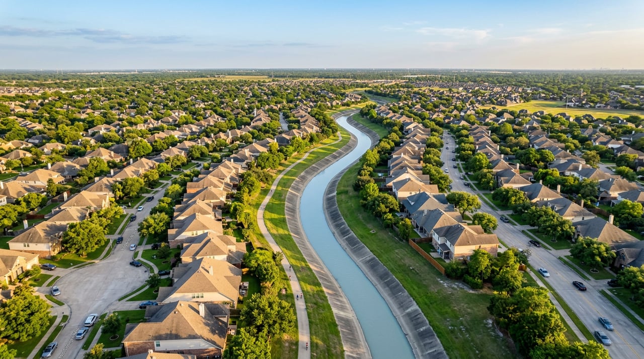
Houston has some of the most unpredictable flood patterns of any major city in the country. Two houses on the same block, built the same year, with similar square footage, can have completely different flood histories. One stayed dry through Harvey. One took on four feet of water. Out-of-state buyers have no frame of reference for this, and a lot of local agents don't address it directly enough.
This post is for buyers relocating to the Greater Houston area who want the full, unfiltered picture on flood zones before they start making offers. No panic, no scare tactics. Just the data, the tools, and the questions you need to ask.
What Is a Flood Zone and Why Does the Label Matter?
FEMA assigns flood zone designations to every property in the country based on Flood Insurance Rate Maps (FIRMs). In Houston, the most common zones you'll encounter are:
- Zone X (unshaded): Minimal flood hazard. No mandatory flood insurance for federally backed loans.
- Zone X (shaded): The 500-year floodplain. A 0.2% annual chance of flooding. No mandatory insurance, but risk is real.
- Zone AE: High risk. A 1% annual chance of flooding each year. Mandatory flood insurance if you have a federally backed mortgage.
- Zone A: Also high risk, but without the detailed elevation data that comes with AE designation.
- Floodway: The most restrictive zone. This is the active channel water flows through during a flood event. Building restrictions are tight here.
The Zone X designation is where a lot of buyers get tripped up. Many assume that because a property isn't in a high-risk zone, they're in the clear. That assumption has cost thousands of Houston homeowners, badly.
The 500-Year Floodplain Is Not as Safe as It Sounds
One Houston flood insurance trainer put it plainly: based on updated rainfall data, the 500-year floodplain is effectively the new 100-year floodplain. Climate patterns have shifted, pavement has replaced prairie, and storms that used to be once-in-a-century events are happening with more frequency. Zone X (shaded) still carries meaningful risk in Houston, and buyers in those areas should budget for flood insurance even if their lender doesn't require it.
The Harvey Reality: Why Flood Maps Alone Are Not Enough
Hurricane Harvey is the defining data point for Houston flood risk, and the numbers are jarring. Over 200,000 homes and apartment buildings flooded during Harvey, even though only around 150,000 homes and commercial properties were located within the 100-year floodplain. About 75% of the home flooding during Harvey occurred in areas outside the FEMA 100-year floodplain.
Read that again. Three out of four flooded homes were in areas the official flood maps said were relatively safe.
Harvey's rainfall on August 29th completely filled Harris County's 500-year floodplain, and over 50% of estimated inundation occurred outside of any mapped flood zone at all.
This is not a reason to panic or rule out all of Houston. People live here happily, raise families, and build wealth through real estate. It is a reason to treat flood maps as a starting point, not a final answer.
Why the Maps Are Outdated
The most recent official FEMA flood map for Harris County was produced in 2007, and FEMA has been working to finalize a new one that reflects the growing risk of extreme flood events. A draft of the new map shows more neighborhoods being moved into higher-risk zones. For buyers shopping now, that means the official map on record may significantly understate the actual risk for a given property.
The Harris County Flood Control District and FEMA have been partnering on an updated assessment project called MAAPnext. This project uses the latest available technology and data to produce the county's most comprehensive and complete set of flood hazard maps and information. Those maps are still working through the finalization process. Until they're adopted, the 2007 maps remain the regulatory baseline, even though local engineers and flood experts are already building to the newer data.
The Three Tools Every Houston Buyer Should Use
You don't need to be a hydrologist to research flood risk on a property. You need three tools, and you need to use all three.
Tool 1: The FEMA Flood Map Service Center
Go to msc.fema.gov and enter the property address. This gives you the official flood zone designation, the base flood elevation (BFE), and the zone label. The BFE is the elevation floodwaters are expected to reach during a 100-year event. A home built above the BFE is significantly better positioned for lower insurance costs and less risk.
This is your regulatory baseline. Start here.
Tool 2: The Harris County Flood Education Mapping Tool
The Harris County Flood Education Mapping Tool goes further than the FEMA map. It shows floodplain layers, watershed boundaries, channels (bayous, creeks, and drainage ditches), and a "ponding" layer that shows where stormwater pools on streets during heavy rain events. Developed after Tropical Storm Allison in 2001, the tool's purpose is to help residents learn the location of their properties in relation to mapped floodplains and includes regularly updated information from FEMA's Flood Insurance Rate Maps.
The ponding layer is particularly useful for buyers. A property in Zone X can still sit in a drainage low point where water sheets off surrounding streets and pools during heavy rain. That kind of localized flooding won't show up on a FEMA map. It will show up here.
Tool 3: The Texas Seller's Disclosure Notice
This is a legal document, and it is your clearest window into a property's actual flood history. Texas Senate Bill 339, signed into law in 2019, expanded seller disclosure requirements to include whether a home is located in a 500-year floodplain, a flood pool, in or near a reservoir, and whether the home has ever flooded before.
The Texas Seller's Disclosure Notice requires sellers to indicate whether the property is located wholly or partly in a 100-year floodplain (Zone A, AE, V, etc.), a 500-year floodplain (Zone X shaded), a floodway, or a reservoir, and whether the seller has ever filed a flood insurance claim on the property.
Read every line. If a seller marks "no" to flooding history but the home sits adjacent to a bayou and was built in the 1980s, ask more questions. If there are any repair permits pulled in late 2017 around the time of Harvey, that's worth investigating.
One important note: If a property has changed hands quickly, disclosure has limits. In Texas, sellers are required to disclose flood risk, but if you're an investor who has only owned the house for a short time, you're only required to tell buyers what you know during that short period of time. For flipped homes, ask your agent to dig into permit history and the MLS listing notes from the original sale.
What Does Flood Insurance Actually Cost in Houston?
This is the number that surprises most relocating buyers. Flood insurance is not rolled into your homeowner's policy. It's completely separate. And in Houston, it's a real budget line item.
In a 2026 Houston dataset, the median NFIP premium in Zone AE was $2,338 per year, while the median private flood insurance premium was $1,116 per year.
Neighboring homes can have premium differences of $2,000 or more because FEMA's Risk Rating 2.0 system considers distance to water, home elevation, and replacement cost, not just flood zone designation.
Here's a practical summary for buyers:
| Flood Zone | Mandatory Insurance? | Typical Annual Range |
|---|---|---|
| Zone X (unshaded) | No | $400-$700 (optional but smart) |
| Zone X (shaded) | No | $700-$1,500 |
| Zone AE or A | Yes (federally backed loans) | $1,000-$4,300+ |
| Floodway | Yes | Varies, often higher |
Houston has approximately 322,000 homes situated in FEMA flood zones. A lot of buyers and homeowners are navigating this. The premium range is wide because the risk is property-specific under FEMA's current Risk Rating 2.0 system. The only way to know your actual number is to get a quote tied to the specific address.
Also worth knowing: private flood insurance was the cheaper option in roughly 72% of Zone AE comparisons in Houston, but NFIP remained more competitive in about 28% of cases. Run both quotes before you choose.
And one more thing: flood insurance policies typically come with a 30-day waiting period. You cannot buy coverage the week before a storm. Budget and apply for it at closing.
What to Look for by Houston Submarket
Flood risk is not distributed evenly across Greater Houston. Here are the patterns worth knowing as you narrow your search.
Inner Houston and Bayou-Adjacent Areas
Neighborhoods near Buffalo Bayou, Brays Bayou, White Oak Bayou, and Greens Bayou carry the most direct floodplain exposure. Areas like Meyerland in southwest Houston and stretches of the Greater Heights near White Oak Bayou have well-documented repeat flooding histories. That doesn't make them bad places to buy. It means you go in with eyes open and you price the insurance cost into your monthly budget.
Midtown Houston and Montrose are largely better positioned because of their elevation relative to surrounding bayous, but you still run the tools on any specific address.
The Reservoir Zones: West Houston
This is where a lot of out-of-state buyers get blindsided. Two large flood control reservoirs, Addicks and Barker, sit west of downtown in the Katy and northwest areas. During Harvey, they were pushed past capacity for the first time. About 14,000 homes are located inside the reservoir footprint, and during Harvey, 5,138 of those homes flooded when unprecedented water accumulated behind the dams.
If you're shopping in Katy, west Houston, or the Energy Corridor area, specifically check whether any property sits within the Addicks or Barker reservoir flood pool. The Texas Seller's Disclosure now asks this directly. The answer matters a lot.
Suburbs: Pearland, Sugar Land, Friendswood, League City
These areas have generally lower flood exposure than inner Houston. Friendswood in particular has a reputation for lower flooding risk and has attracted buyers who want to stay in the Houston metro with more peace of mind. League City and Clear Lake sit closer to sea level and coastal waterways, so research is still required property by property.
Flooding in one county can cause problems in another because floodwater doesn't follow city or county lines. Heavy development in Montgomery County, for example, can contribute to flooding in Harris County downstream. For buyers in communities near county lines, this context matters.
What to Ask Your Agent Before Making an Offer
A good buyer's agent in Houston should be able to walk through flood risk with you without making it feel like a legal disclaimer. Here are the questions worth asking before you go under contract:
- What flood zone is this property in, and has it changed since the home was built?
- Does the seller's disclosure indicate any prior flooding or flood insurance claims?
- Is this property near the Addicks or Barker reservoir flood pool?
- Has the seller provided an Elevation Certificate, or is one available?
- What would flood insurance cost at this specific address?
An Elevation Certificate, prepared by a licensed land surveyor, documents the home's elevation relative to the base flood elevation. Structures built above the base flood elevation are typically eligible for lower flood insurance premiums, and an Elevation Certificate can support a request to FEMA to remove a property from the mandatory insurance requirement. If a seller has one, ask for it. If they don't, you may want to order one before closing.
I work with a lot of relocating buyers, and flood risk is one of the first conversations I have with every single one of them. It's not a reason to avoid Houston. It's a reason to buy the right house in the right spot. The data is available. You just have to know where to look.
If you're in the process of researching neighborhoods and want a straight read on the flood profile of a specific area or address, reach out to Raquel Refuerzo at (832) 415-9228. Whether you're looking at Katy, Pearland, the Heights, or anywhere in between, flood history should be part of every conversation before you make an offer.
Want to explore Houston-area neighborhoods and compare options? Start there, then bring your questions.
Related Keywords: Houston flood zones home buying, flood risk Houston neighborhoods, Houston flood map real estate, buying a home in Houston flood zone, Houston 100-year floodplain, FEMA flood zone Houston, Zone AE Houston real estate, Houston flood insurance cost, Houston flood disclosure law, Harris County flood map, Hurricane Harvey flood zone, Houston flood zone X, relocating to Houston flood risk, Houston flood insurance 2026, Zone AE vs Zone X Houston, NFIP flood insurance Houston, Houston home buyer flood checklist, Katy Texas flood zone, Pearland flood risk, Houston seller disclosure flood, Houston bayou flooding real estate, Harris County Flood Education Mapping Tool, base flood elevation Houston, elevation certificate Houston buyer, Houston floodplain map 2026